
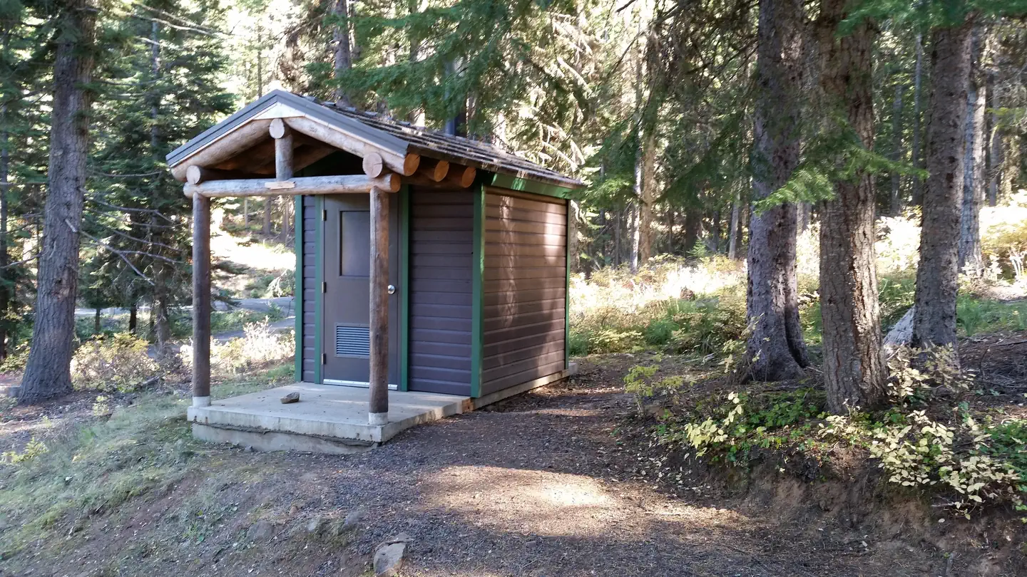
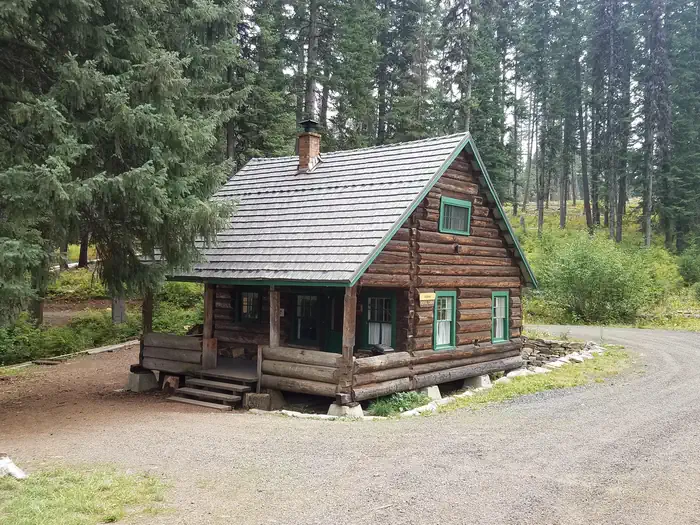
Adams Ranger Station Cabin is located in the heart of the Nez Perce National Forest at an elevation of 5,150 feet. Adams Camp served as a way station along the Milner Trail as early as 1862. The Forest Service established the area adjacent to Adams Camp as an administrative site in 1919.
Verified facts
RIDB / Recreation.gov official databaseAmenities
RIDB /facilities /campsites · owner-verifiedStraight talk
CamperWatch intel · curated from camper reportsKnown issues, each with the workaround. Read before you book.
Things to do nearby
RIDB /activities /recareas + intelConditions today
LiveCell signal
FCC BDC · quarterly datasetFCC maps are theoretical — camper reports confirm signal.
Location
Leaflet · OpenStreetMap tiles


Getting there →
There are two ways to access this cabin in the summer: 1) From the town of Grangeville, turn south on the Grangeville-Salmon Road and follow the signs toward Gospel Hump and Salmon River. At mile marker 29, turn left (east) onto Hungry Ridge Road #309 and drive approximately 1 mile. Turn left at the signs for Adams Ranger Station/Wilson Cow Camp and climb the small hill toward the cabin with a front and side porch. 2) From Highway 14, at mile marker 17 on Highway 14, turn west up Hungry Ridge Ro
Campground entrance
Google Maps APICommunity
#community · posts, photos & Q&A · AI-moderated (Claude Vision)Pro tips
- Book on recreation.gov exactly 6 months ahead at 10am ET — Nez Perce-Clearwater National Forests fills fast in peak season.
- Check current road conditions at Nez Perce-Clearwater National Forests before arrival — seasonal closures common.
Frequently asked questions
RIDB facts + intel · FAQPage schema, speakableHow much does Adams Ranger Station cost per night?+
What season is Adams Ranger Station open?+
Does Adams Ranger Station have hookups?+
What is the maximum RV length at Adams Ranger Station?+
How do I make reservations at Adams Ranger Station?+
What is the cell service like at Adams Ranger Station?+
What season is Adams Ranger Station open, and what are check-in times?+
●Data sources on this page
CamperWatch never fabricates data. Where data is unavailable, it is not shown.
Nearby Campgrounds
Own a campground nearby?
List free on CamperWatch — we take 5% only on bookings we send. No monthly fee.