
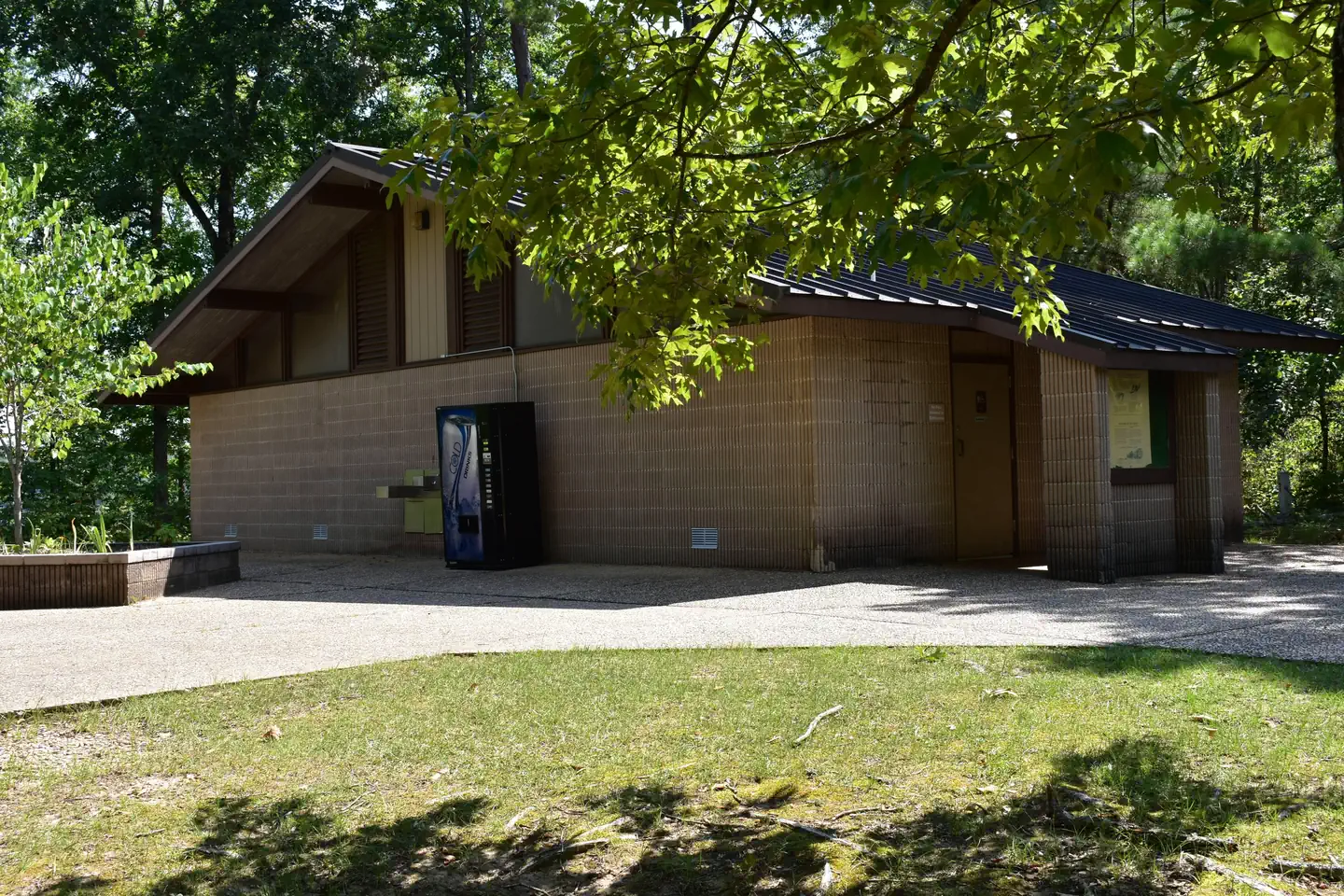

The Clear Creek Recreation Area has become one of Alabama’s most popular recreation areas and has many repeat visitors. The Bankhead National Forest’s largest recreation area, Clear Creek is in Winston County about 13 miles north of Jasper, ALlabama and was constructed on the shore of Lewis Smith Lake giving direct recreational access to the lake via the day use boat launch, to boating, water skiing, personal watercraft use, as well as fishing for largemouth bass, striped bass, and crappie. With many modern conveniences, it offers facilities for individual and group camping, picnicking, swimming, boat launching, hiking, and biking.
Verified facts
RIDB / Recreation.gov official databaseAmenities
RIDB /facilities /campsites · owner-verifiedStraight talk
CamperWatch intel · curated from camper reportsKnown issues, each with the workaround. Read before you book.
Insider tips & when to go
CamperWatch intel · hand-curated entryBook early as a federal campground with limited availability
Bear Loop sites lack direct water access but offer quieter camping
Level camper pads with poles for hanging lights available at sites
Reviewers recommend booking before major holidays like Memorial Day weekend to secure sites, indicating high demand during peak periods.
Things to do nearby
RIDB /activities /recareas + intelConditions today
LiveCell signal
FCC BDC · quarterly datasetFCC maps are theoretical — camper reports confirm signal. Best carrier: Verizon.
Wildlife nearby
iNaturalist · research-grade · 8 kmLocation
Leaflet · OpenStreetMap tiles


Getting there →
From Jasper travel approx. 5 miles north on State Road 195 to Manchester, 8.5 miles north on County Road 27 to entrance. From Double Springs travel approx. 12 miles south on State Road 195 to Lamon Chapel Road go to the end and turn left on County Road 27 for 2 miles to entrance. Satellite Map
Campground entrance
Google Maps APICommunity
#community · posts, photos & Q&A · AI-moderated (Claude Vision)Pro tips
- Book on recreation.gov exactly 6 months ahead at 10am ET — National Forests in Alabama fills fast in peak season.
- Check current road conditions at National Forests in Alabama before arrival — seasonal closures common.
Frequently asked questions
RIDB facts + intel · FAQPage schema, speakableHow much does Clear Creek (Al) cost per night?+
What season is Clear Creek (Al) open?+
Does Clear Creek (Al) have hookups?+
What is the maximum RV length at Clear Creek (Al)?+
How do I make reservations at Clear Creek (Al)?+
What is the cell service like at Clear Creek (Al)?+
What season is Clear Creek (Al) open, and what are check-in times?+
Official resources
●Data sources on this page
CamperWatch never fabricates data. Where data is unavailable, it is not shown.
Nearby Campgrounds
Own a campground nearby?
List free on CamperWatch — we take 5% only on bookings we send. No monthly fee.