
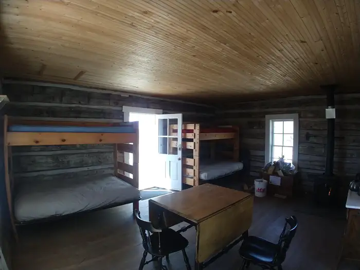
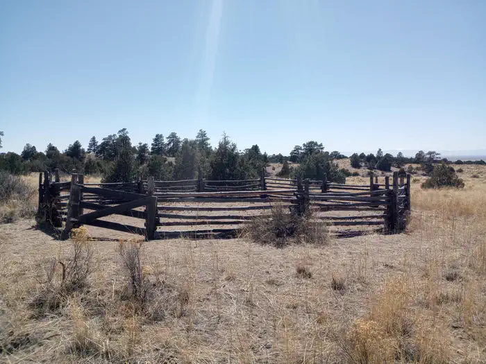
The cabin was constructed in the 1880s. The cabin sits 8,120 feet above sea level beside a small dry stream‐bed. The nearest source of water is Pole Creek which is approximately 1,500 feet from the cabin.
Verified facts
RIDB / Recreation.gov official databaseAmenities
RIDB /facilities /campsites · owner-verifiedStraight talk
CamperWatch intel · curated from camper reportsKnown issues, each with the workaround. Read before you book.
Insider tips & when to go
CamperWatch intel · hand-curated entryBook early
this is a federal campground with only 1 site
Nearest water source is Pole Creek, approximately 1,500 feet from cabin
Approximately 4-mile hike-in with mostly flat, sandy terrain to reach the cabin
Campground operates seasonally during these months only
Things to do nearby
RIDB /activities /recareas + intelConditions today
LiveCell signal
FCC BDC · quarterly datasetFCC maps are theoretical — camper reports confirm signal. Best carrier: Verizon.
Wildlife nearby
iNaturalist · research-grade · 8 kmLocation
Leaflet · OpenStreetMap tiles


Getting there →
Duncan Cabin cab be reached from Moffat, Colorado, on State Highway 17, either 37 miles from Alamosa or 14 miles from the intersection of US Hwy 285 between Saguache and Salida. From Moffat turn towards Crestone (County Road T), for 12 miles. Before getting to Crestone, turn right at Camino Baca Grande Road for 2 miles. Turn right at Camino Real Road (no street signs, but look for small brown sign saying "Liberty Road" on the right side. Follow Camino Real for 3.4 miles, look for another small b
Campground entrance
Google Maps APICommunity
#community · posts, photos & Q&A · AI-moderated (Claude Vision)Pro tips
- Book on recreation.gov exactly 6 months ahead at 10am ET — Rio Grande National Forest fills fast in peak season.
- Check current road conditions at Rio Grande National Forest before arrival — seasonal closures common.
Frequently asked questions
RIDB facts + intel · FAQPage schema, speakableHow much does Duncan Cabin cost per night?+
What season is Duncan Cabin open?+
Does Duncan Cabin have hookups?+
What is the maximum RV length at Duncan Cabin?+
How do I make reservations at Duncan Cabin?+
What is the cell service like at Duncan Cabin?+
What season is Duncan Cabin open, and what are check-in times?+
●Data sources on this page
CamperWatch never fabricates data. Where data is unavailable, it is not shown.
Nearby Campgrounds
Own a campground nearby?
List free on CamperWatch — we take 5% only on bookings we send. No monthly fee.