
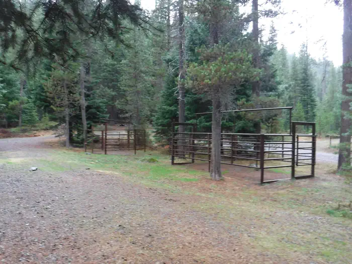
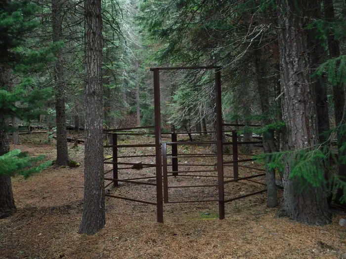
This campground and trailhead is located along the Wild and Scenic North Umpqua River. Visitors will experience the river's rushing waters as they pass through lush high Cascade meadows. Designed to accommodate pack and saddle use as well as standard camping.
Verified facts
RIDB / Recreation.gov official databaseAmenities
RIDB /facilities /campsites · owner-verifiedStraight talk
CamperWatch intel · curated from camper reportsKnown issues, each with the workaround. Read before you book.
Insider tips & when to go
CamperWatch intel · hand-curated entryBook early
this is a federal campground with high demand
Bring bug spray for mosquitoes
Suitable for self-contained RVs only; no hookups at most sites
Official operating season. Spring arrives late in high country with explosion of wildflower colors.
Things to do nearby
RIDB /activities /recareas + intelConditions today
LiveCell signal
FCC BDC · quarterly datasetFCC maps are theoretical — camper reports confirm signal. Best carrier: T-Mobile.
Wildlife nearby
iNaturalist · research-grade · 8 kmLocation
Leaflet · OpenStreetMap tiles


Getting there →
From Roseburg, OR, travel east on OR-138 /NE Diamond Lake Boulevard for about 74 miles. Turn left onto Forest Road 60 (Windigo Pass Road). Follow for 4.5 miles, and then turn right onto Forest Road 6000-958 (red road). Drive 1.5 miles to the end of the road to Kelsay Valley Horse Camp and Trailhead.
Campground entrance
Google Maps APICommunity
#community · posts, photos & Q&A · AI-moderated (Claude Vision)Pro tips
- Equestrian sites require horses — rangers will redirect non-horse campers.
- No drinking water on site — bring all water for people and horses.
- Trail access to Pacific Crest Trail via Porcupine Connect Trail 1412A and North Umpqua Trail 1414.
- Watson Falls (272ft, one of Oregon tallest) is a short drive on the North Umpqua Highway.
Frequently asked questions
RIDB facts + intel · FAQPage schema, speakableHow much does Kelsay Valley Horse Camp cost per night?+
What season is Kelsay Valley Horse Camp open?+
Does Kelsay Valley Horse Camp have hookups?+
What is the maximum RV length at Kelsay Valley Horse Camp?+
How do I make reservations at Kelsay Valley Horse Camp?+
What is the cell service like at Kelsay Valley Horse Camp?+
What season is Kelsay Valley Horse Camp open, and what are check-in times?+
●Data sources on this page
CamperWatch never fabricates data. Where data is unavailable, it is not shown.
Nearby Campgrounds
Own a campground nearby?
List free on CamperWatch — we take 5% only on bookings we send. No monthly fee.