
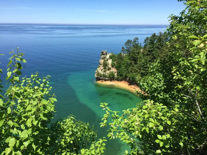
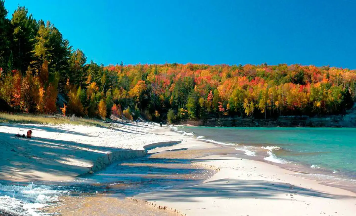
Pictured Rocks National Lakeshore hugs the Lake Superior shoreline for more than 40 miles along Michigan’s northern coast. Lake Superior is the largest, deepest, coldest, and most pristine of all the Great Lakes. In addition to boating and kayaking on the lake, the park’s backcountry offers nearly 100 miles of walking and hiking trails and opportunities for solitude, inspiration, physical challenge, renewal, and camping.
Verified facts
RIDB / Recreation.gov official databaseAmenities
RIDB /facilities /campsites · owner-verifiedStraight talk
CamperWatch intel · curated from camper reportsKnown issues, each with the workaround. Read before you book.
Insider tips & when to go
CamperWatch intel · hand-curated entryBook early
federal campground with high demand
Hike the Chapel Rock/Chapel Lake loop for panoramic Lake Superior views
Access backcountry primarily via the Lake Superior shoreline trail system
Campground operates year-round with winter sports opportunities including cross-country skiing and ice climbing
Things to do nearby
RIDB /activities /recareas + intelConditions today
LiveCell signal
FCC BDC · quarterly datasetFCC maps are theoretical — camper reports confirm signal.
Wildlife nearby
iNaturalist · research-grade · 8 kmLocation
Leaflet · OpenStreetMap tiles


Getting there →
https://www.nps.gov/piro/planyourvisit/directions.htm
Campground entrance
Google Maps APICommunity
#community · posts, photos & Q&A · AI-moderated (Claude Vision)Pro tips
- Book on recreation.gov exactly 6 months ahead at 10am ET — Pictured Rocks National Lakeshore fills fast in peak season.
- Check current road conditions at Pictured Rocks National Lakeshore before arrival — seasonal closures common.
Frequently asked questions
RIDB facts + intel · FAQPage schema, speakableHow much does Pictured Rocks National Lakeshore Backcountry Camping Permit cost per night?+
What season is Pictured Rocks National Lakeshore Backcountry Camping Permit open?+
Does Pictured Rocks National Lakeshore Backcountry Camping Permit have hookups?+
What is the maximum RV length at Pictured Rocks National Lakeshore Backcountry Camping Permit?+
How do I make reservations at Pictured Rocks National Lakeshore Backcountry Camping Permit?+
What is the cell service like at Pictured Rocks National Lakeshore Backcountry Camping Permit?+
What season is Pictured Rocks National Lakeshore Backcountry Camping Permit open, and what are check-in times?+
Official resources
●Data sources on this page
CamperWatch never fabricates data. Where data is unavailable, it is not shown.
Nearby Campgrounds
Own a campground nearby?
List free on CamperWatch — we take 5% only on bookings we send. No monthly fee.