
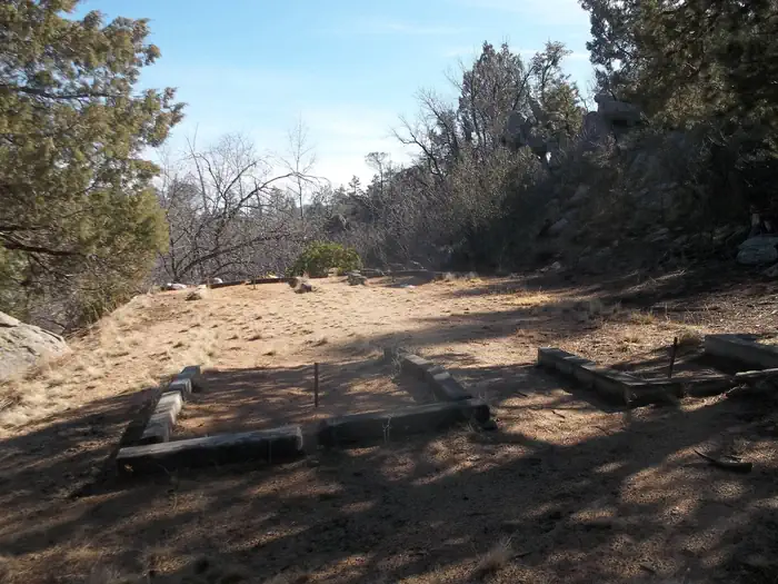
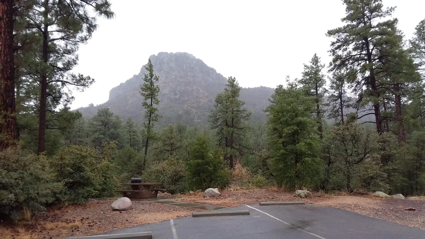
Thumb Butte Group Picnic Area is a convenient place for groups of up to 100 people to enjoy a day outdoors. The site is located under the towering pines of Prescott National Forest about 4 miles west of Prescott, and provides easy access to a variety of trails and amenities. It offers a year-round pavilion and a quiet, shaded setting for luncheons, church gatherings, family picnics and other large functions.
Verified facts
RIDB / Recreation.gov official databaseAmenities
RIDB /facilities /campsites · owner-verifiedStraight talk
CamperWatch intel · curated from camper reportsKnown issues, each with the workaround. Read before you book.
Insider tips & when to go
CamperWatch intel · hand-curated entryBook early as this is a federal campground with high demand
The Thumb Butte trail is approximately 2 miles and can be completed before sunset
Located under towering pines of Prescott National Forest about 4 miles west of Prescott
Campground operates year-round with a year-round pavilion available.
Things to do nearby
RIDB /activities /recareas + intelConditions today
LiveCell signal
FCC BDC · quarterly datasetFCC maps are theoretical — camper reports confirm signal. Best carrier: T-Mobile.
Wildlife nearby
iNaturalist · research-grade · 8 kmLocation
Leaflet · OpenStreetMap tiles


Getting there →
From Phoenix, Arizona: Traveling Northbound on I-17 take Exit 262 onto Hwy 69 North to Prescott and cointnue on Hwy 69 for 41 miles. Once you have arrived in Prescott, continue to go west on Hwy 69 which turns into Gurley St., which then becomes the Thumb Butte Road, and travel 2.2 miles to the picnic area entrance. Alternate route from Flagstaff, Arizona: Traveling Southbound on I-17 take Exit 278 onto Westbound Highway 169 and continue for 15 Miles until reaching the junction of Hwy 69, turn r
Campground entrance
Google Maps APICommunity
#community · posts, photos & Q&A · AI-moderated (Claude Vision)Pro tips
- Book on recreation.gov exactly 6 months ahead at 10am ET — Prescott National Forest fills fast in peak season.
- Check current road conditions at Prescott National Forest before arrival — seasonal closures common.
Frequently asked questions
RIDB facts + intel · FAQPage schema, speakableHow much does Thumb Butte cost per night?+
What season is Thumb Butte open?+
Does Thumb Butte have hookups?+
What is the maximum RV length at Thumb Butte?+
How do I make reservations at Thumb Butte?+
What is the cell service like at Thumb Butte?+
What season is Thumb Butte open, and what are check-in times?+
Official resources
●Data sources on this page
CamperWatch never fabricates data. Where data is unavailable, it is not shown.
Nearby Campgrounds
Own a campground nearby?
List free on CamperWatch — we take 5% only on bookings we send. No monthly fee.